Drones in the mining and coal sector are revolutionizing operations by offering improved efficiency, safety, and cost-effectiveness. These UAVs are used for a wide range of applications, from surveying and mapping to monitoring operations in real-time.
Services
Drone solutions for surveying, geological mapping, and monitoring of mining and coal sites.
Advanced stockpile volume measurements and environmental impact assessments.
Comprehensive service packages, including regular inspections, repairs, and software updates.
Use Case
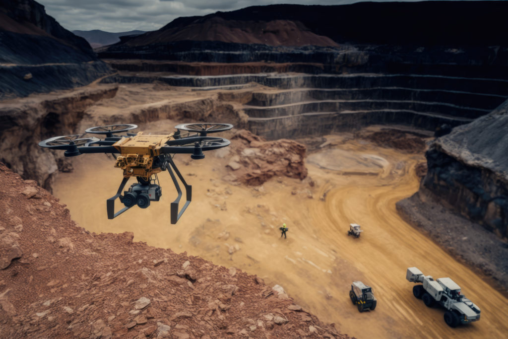
Surveying: Drones equipped with LiDAR and cameras create 3D maps of the mining site for accurate topographic data and planning.
Stockpile Management: Drones estimate stockpile volumes in real-time, aiding in inventory management.
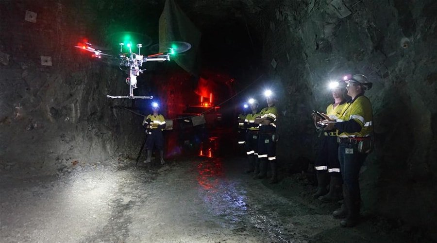
Safety Monitoring: Drones with thermal cameras detect hot spots, and gas sensors monitor air quality, ensuring worker safety.
Safety Monitoring: Drones assess the aftermath of blasting operations for safety and environmental monitoring.
Real-Time Data: Data collected is transmitted for immediate decision-making, improving operational efficiency.